
Narva-Jõesuu
Narva-Jõesuu, Ida-Viru County, Estonia
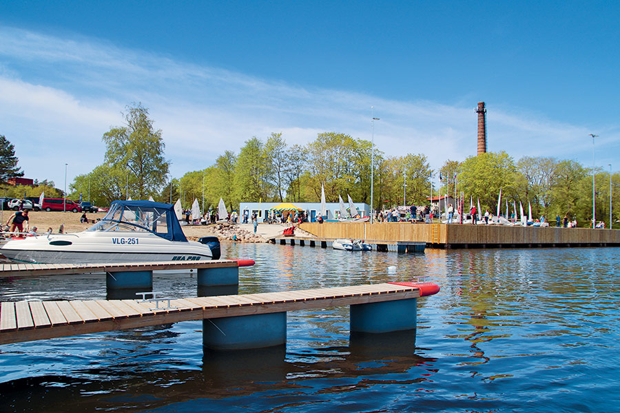
Harbour overview
Exposed to and dangerous to enter in strong N-W winds and swell. Entry must be cleared by Estonian Coastguard VHF ch 16 or phone. Flow speed in the river ~1 kn. From Narva-Jõesuu safe water buoy 59°28.68’N; 28°00.97’E (LFl W 10s) follow the unlit leading line 105.3° - 285.3° to Narva-Jõesuu safe water buoy B 59°28.57’N; 28°01.90’E (LFl W 10s). Follow lateral spar buoys to Narva 5 starboard-hand buoy 59°28.29’N; 28°02.54’E 200 m (Fl G 3s) and follow the Narva-Jõesuu river leading line 162.0° - 342.0° (Iso R 2s - Iso R 4s). Take care not to deviate to port – Russian territorial waters.
Depth: 2.7 meters
Max LOA: 24.0 meters
Max Width: 15.0 meters
Number of Berths: 20
Services
- Saun
- Fuel for boats
- Fresh Water
- Waste Disposal
- Slipway
- Electric Hookup
- Wi-Fi Access
- Marina office
- WC
- Shower
- Credit Card Payment
Depth Map
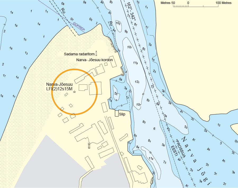
* Depths and heights measures in metres, in reference to mean sea level (BHS-77)
Narva-Jõesuu
Narva-Jõesuu, Ida-Viru County, Estonia
-
[javascript protected email address]
-
Suur-Lootsi 4, Narva-Jõesuu, Ida-Viru County, Estonia 59°27'35"N, 28°3'25"E