

Ventspils Marina
Ventspils, Ventspils, Latvia
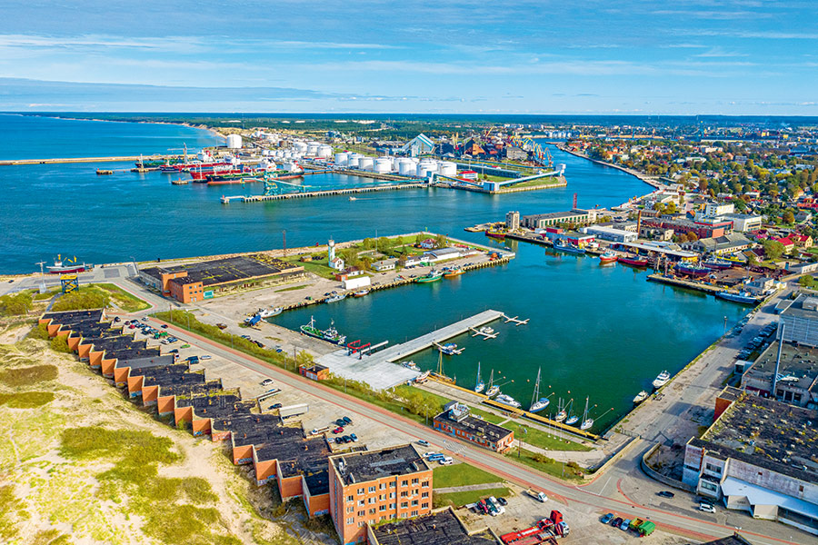
Harbour overview
The port of Ventspils can be identified from a considerable distance by the tall church spire, located in the town centre on the S side of the river. Currents in the river average 1 kn, increasing to 2 kn near the entrance. The current sets N or S along the coast in the port entrance, depending on the wind. The NW approach channel leads SE from lighted buoy “B” (57°28’.52 N; 21°25’.91 E) to the Ventspils Outer Harbour, protected by two breakwaters, N and S. When entering the harbour, turn into the fishing harbour and marina – it is located on the S (left) side of the Venta River. Ventspils Marina offers 110 m of mooring at a depth of 3.5 m. Tides are insignificant, but the water level fluctuates with wind conditions and may differ by 0.3 m above or below the mean.
Depth: 3.5 meters
Max LOA: 30.0 meters
Max Width: 15.0 meters
Number of Berths: 50
Services
- Saun
- Fresh Water
- Waste Disposal
- Boat Lift
- Electric Hookup
- Wi-Fi Access
- Marina office
- WC
- Shower
- Washing Machine
- Credit Card Payment
Photos

Depth Map
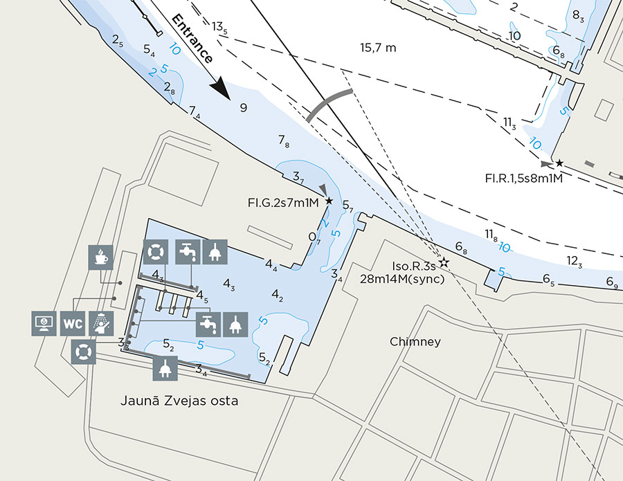
* Depths and heights measures in metres, in reference to mean sea level (BHS-77)
Ventspils Marina
Ventspils, Ventspils, Latvia
-
[javascript protected email address]
-
Medņu 42, Ventspils, Ventspils, Latvia 57°23'38"N, 21°31'60"E