

Sõru Port
Pärna (Hiiumaa), Hiiu County, Estonia
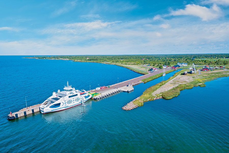
Harbour overview
Exposed to easterly winds. From safe water WP1 (58°37.20’ N; 22°36.10’ E) proceed to WP2 (58°37.07’ N; 22°35.70’ E) and steer to the harbour. There is a green day mark located on the eastern quay and a red beacon on the western quay, light character FI R 3s. The quays are lighted. To get to Sõru Harbour approach along Soela fairway. From WP1 (58°41.30’ N; 22°31.25’ E) proceed N along the channel, passing the ferry port and marina. Sõru Yacht Harbour hosts several cultural events.
Depth: 4.2 meters
Max LOA: 42.0 meters
Max Width: 10.0 meters
Number of Berths: 40
Services
- Fresh Water
- Slipway
- Electric Hookup
- Wi-Fi Access
- Marina office
- WC
- Shower
- Washing Machine
- Credit Card Payment
Depth Map
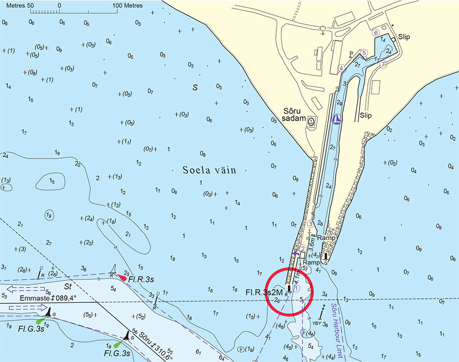
* Depths and heights measures in metres, in reference to mean sea level (BHS-77)
Sõru Port
Pärna (Hiiumaa), Hiiu County, Estonia
-
[javascript protected email address]
-
Pärna (Hiiumaa), Hiiu County, Estonia 58°41'29"N, 22°31'18"E