

Munalaid
Lao, Pärnu County, Estonia
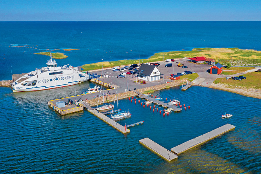
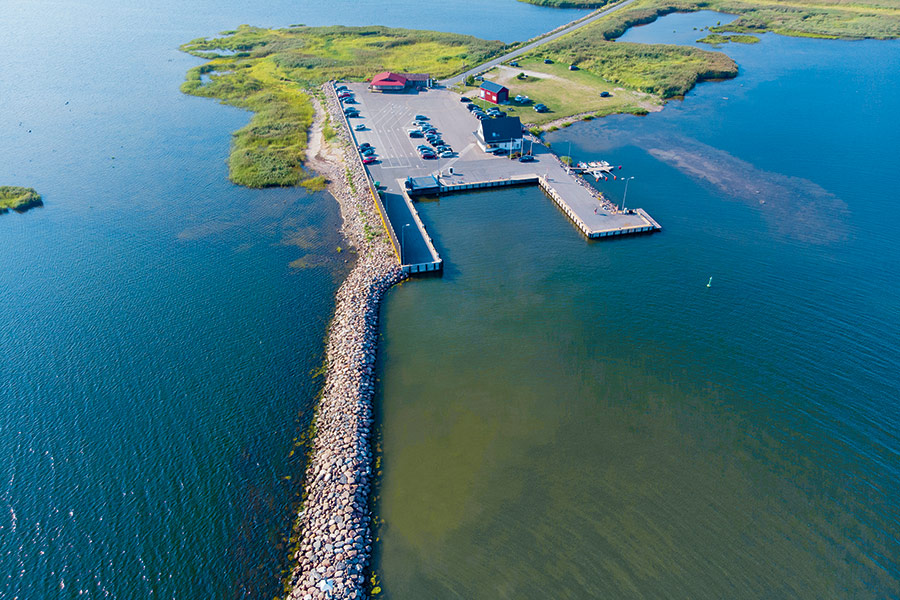
Harbour overview
Approach from Munalaid safe water buoy (58°13.02’ N; 24°04.62’ E) and follow 70.4°–250.4° to Munalaid port-hand buoy (58°13.52’ N; 24°07.18’ E). Then follow the Munalaid leading line 330.3°–150.3° astern to the harbour and moor alongside. Be aware that the ferry berth should always be unoccupied. Sheltered from the north and west by a breakwater, from the east by shallow waters. Munalaid harbour’s main task is ferry traffic service. The ferries go mainly from Munalaid to the Kihnu island.
Depth: 3.5 meters
Max LOA: 20.0 meters
Max Width: 8.0 meters
Number of Berths: 30
Services
- Fresh Water
- Slipway
- Electric Hookup
- Wi-Fi Access
- Marina office
- WC
- Shower
- Washing Machine
- Credit Card Payment
Photos
Depth Map
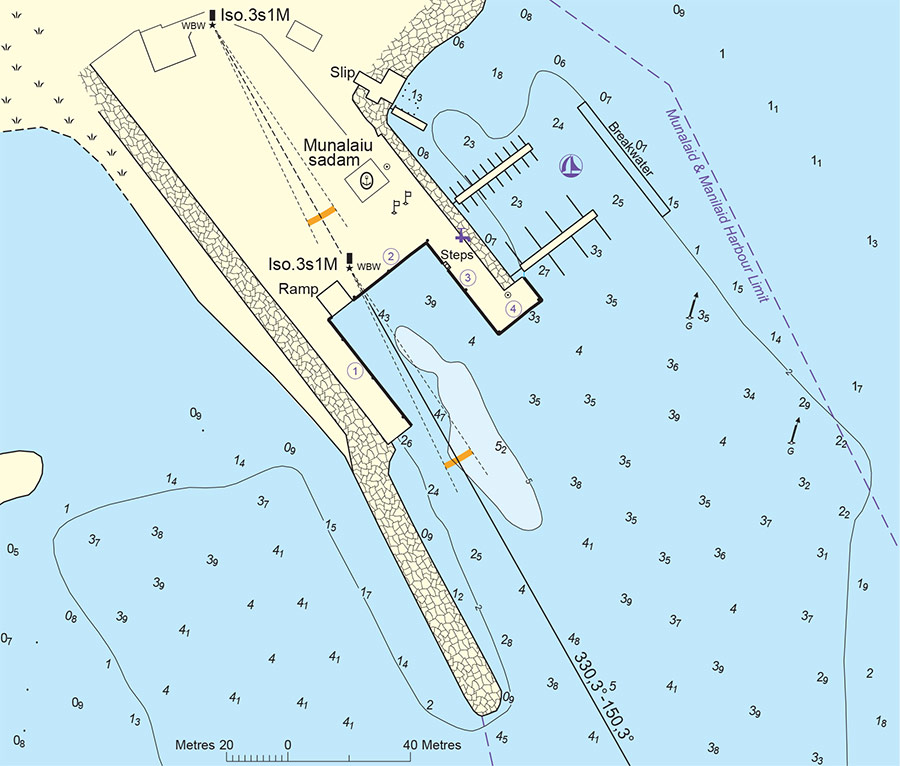
* Depths and heights measures in metres, in reference to mean sea level (BHS-77)
Munalaid
Lao, Pärnu County, Estonia
-
[javascript protected email address]
-
Lao, Pärnu County, Estonia 58°13'46"N, 24°7'4"E