

Kuiviži Marina
Salacgrīva, Limbaži, Latvia
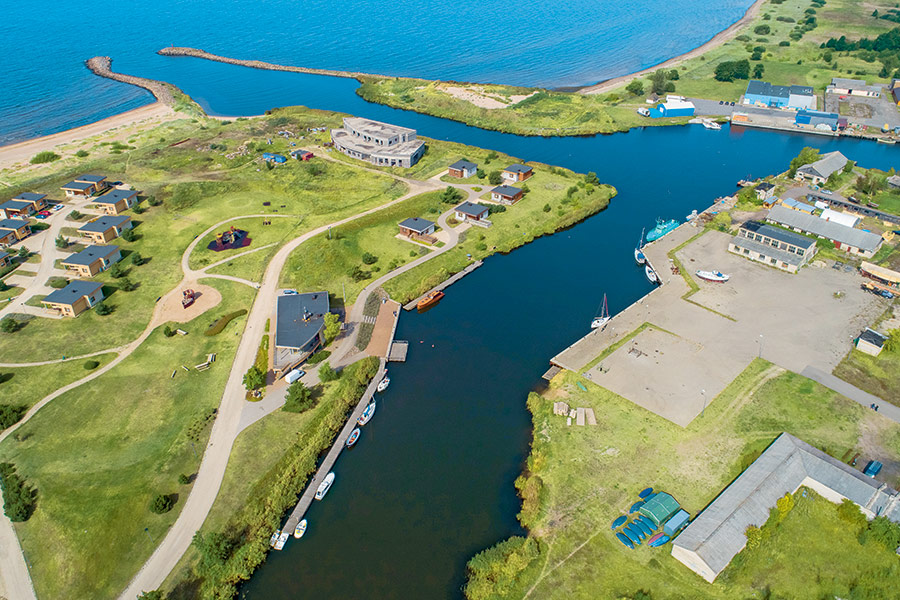
Harbour overview
Entering and leaving Kuiviži port can only be done by following the baseline to/from the floating light of the passageway, because there are fishing nets placed near the fairway of Kuiviži Marina. The coordinates of Kuiviži Marina’s floating seamarks: Floating light of the passage way, vertical red-white coloration: 57°46,95’ N; 240 17,10’ Light characterization: MO(A)B.10.2s. Green lateral buoy 57°47,12’ N; 240 18,69’ E. Red lateral buoy 57°47,14’ N; 240 18,68’ E.
Depth: 3.0 meters
Max LOA: 35.0 meters
Number of Berths: 35
Services
- Saun
- Fresh Water
- Waste Disposal
- Slipway
- Electric Hookup
- Wi-Fi Access
- Marina office
- WC
- Shower
- Washing Machine
- Credit Card Payment
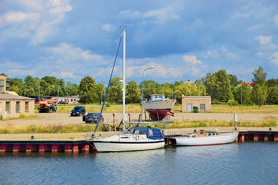
Photos
Depth Map
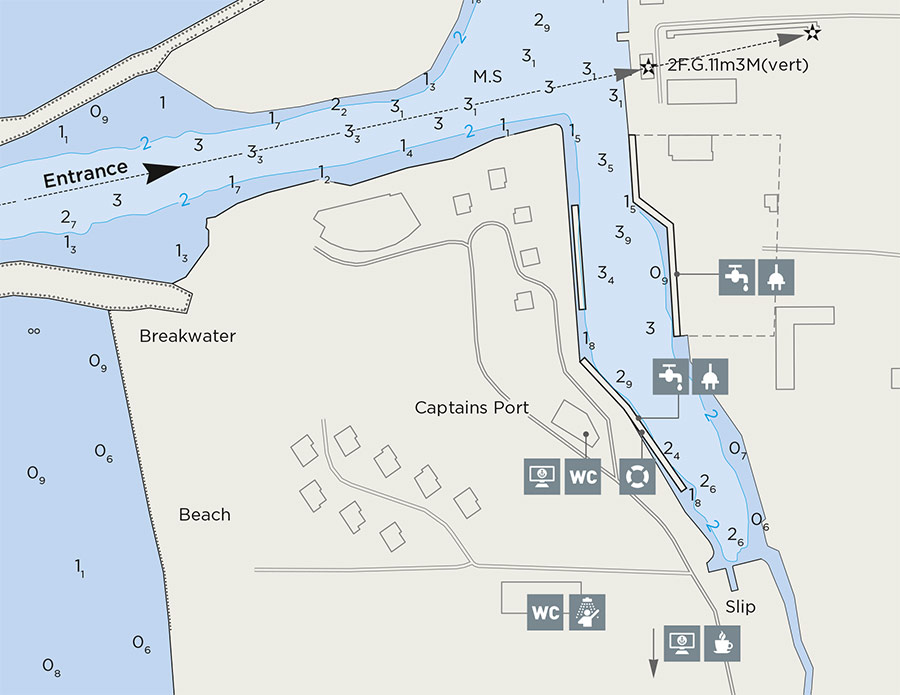
* Depths and heights measures in metres, in reference to mean sea level (BHS-77)
Kuiviži Marina
Salacgrīva, Limbaži, Latvia
-
[javascript protected email address]
-
Pērnavas 49A, Salacgrīva, Limbaži, Latvia 57°47'19"N, 24°21'6"E