
Engure Marina
Engure, Tukums, Latvia
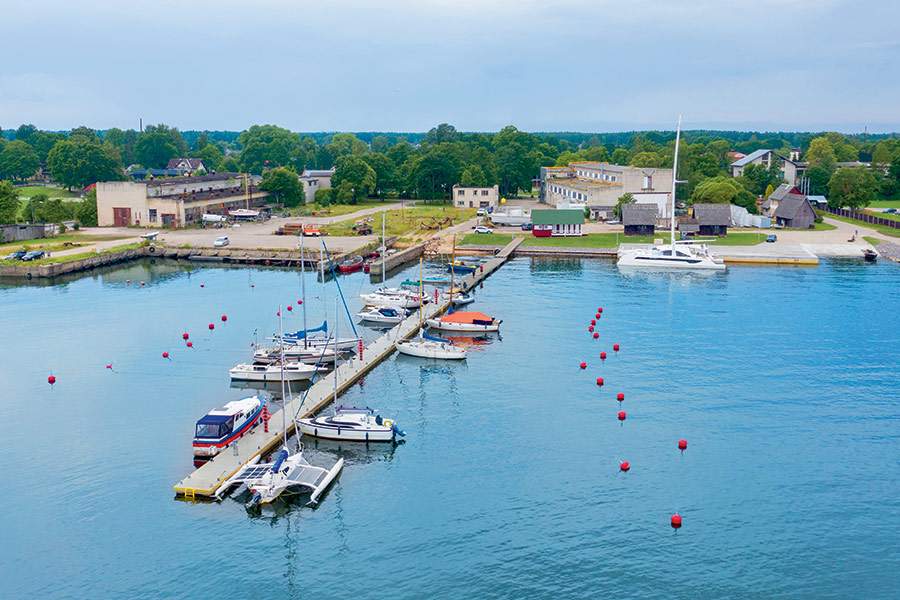
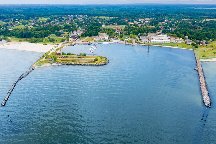
Harbour overview
All ships must request information from the Harbour Master about the depths on the leading line before entering the port. The direction of the leading line is 270.2°–090.2°. The depth on the leading line varies by season, especially during autumn and winter storms, as well as by meteorological conditions. Engure Municipality is located on the coast of the Gulf of Riga, the Baltic Sea, and extends 43.5 km from Klapkalnciems to Mērsrags.
Depth: 3.5 meters
Max LOA: 20.0 meters
Max Width: 15.0 meters
Number of Berths: 50
Services
- Saun
- Fuel for boats
- Fresh Water
- Maintenance
- Waste Disposal
- Slipway
- Electric Hookup
- Wi-Fi Access
- Marina office
- WC
- Shower
- Washing Machine
- Credit Card Payment
Photos
Depth Map

* Depths and heights measures in metres, in reference to mean sea level (BHS-77)
Engure Marina
Engure, Tukums, Latvia
-
[javascript protected email address]
-
Jūras 60B, Engure, Tukums, Latvia 57°9'46"N, 23°13'49"E